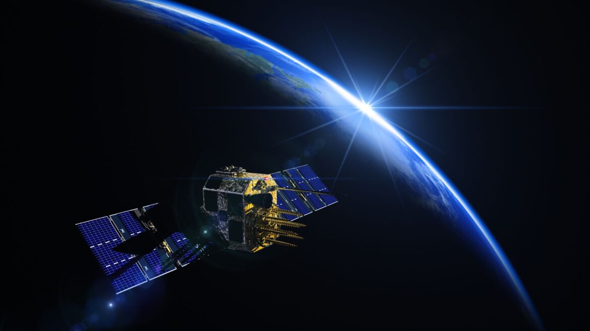
Developed by Indian Space Research Organisation (ISRO), Navigation with Indian Constellation (NAVIC) is an indigenous satellite navigation system which has proved quite effective in the Indian sub-continent.
NAVIC provides accurate positioning and timing information across the Indian subcontinent and it’s surrounding regions. While the Global positioning System (GPS) is highly reliable and effective across the world, there is also a dependency on this foreign system. India realised the importance of having it’s own satellite navigation system in order to reduce the reliance on this foreign system in the times of wars, global emergencies and outages.
The development of NAVIC was initiated after the Kargil War in 1999 so that India could have it’s own reliable satellite navigation system. The system was originally named IRNSS (Indian Regional Navigation Satellite System) before being renamed to NAVIC in 2016.
The NAVIC constellation consists of seven satellites. The first satellite of the system, IRNSS-1A, was launched in July 2013 while the constellation was completed with the launch of the seventh satellite, IRNSS-1G, in April 2016. Of these, three satellites are in the geostationary orbit and four satellites are in the inclined geosynchronous orbit. They operate at an altitude of 36,000 km above the earth, allowing for continuous coverage, reducing blind spots.
NAVIC offers better accuracy at par with the GPS. With 5-10 meters in the Indian region, the system’s position accuracy is essential for navigation as well as sectors requiring high precision like aviation, maritime navigation, disaster management, military operations and scientific research. While the focus in India, the coverage of NAVIC extends upto 1,500 Kms beyond the Indian mainland including parts of Southeast Asia, the Middle East, and the Indian Ocean region.
NAVIC provides two main types of services:
Standard Positioning Service (SPS): This service is available to all users, similar to GPS.
Restricted Service (RS): This service is encrypted and available only to authorized users, primarily Indian military and government agencies.
The three important components in the NAVIC eco-system are:
Space Segment: Constellation of seven satellites
Ground Segment: Network of control centres nd ground stations
User Segment: Devices like smartphones or wearables that used NAVIC signals for navigation, positioning etc.
NAVIC is a key milestone in India’s space technology capabilities, providing critical navigation services for both civilian and military purposes, making NAVIC a vital asset for India. At present, the technology is being used in applications like Google Maps (Indian version), MapmyIndia (Mappls), iTrack, OLA and Uber with Indian specific updates to name a few.


