Table of Contents
List of Categories and Applications Integrating NAVIC technology
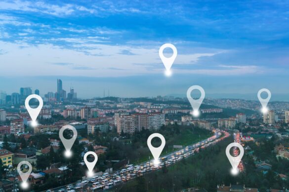
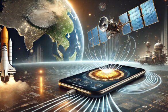
Several mobile apps in India have started integrating NAVIC for accurate location-based services, particularly as NAVIC-compatible smartphones are becoming common in India. All smartphones sold in India must be NavIC-compatible by the end of 2025.
Here are some notable categories of apps and specific applications that use or can benefit from NAVIC:
Navigation and Maps
Google Maps (India Version): While Google Maps primarily uses GPS, it has started to integrate NAVIC for better accuracy and performance in urban and remote areas of India. NAVIC gives better accuracy of upto 5 meters as compared to GPS which gives an accuracy of upto 20-30 metres.
MapmyIndia: MapmyIndia, also known as Mappls is an India-based map and navigation service that integrates NAVIC to provide more accurate and region-specific data, especially in areas where GPS may have limitations.
Vehicle Tracking and Fleet Management
iTrack: A vehicle tracking and fleet management solution that provides real-time updates and routing information using GPS and NAVIC. It’s widely used by logistics companies to manage their fleets in India.
Astra Telematics: Offers tracking and telematics solutions that integrate NAVIC for more accurate vehicle tracking and monitoring within India.
Disaster Management and Emergency Services
NDMA (National Disaster Management Authority) Apps: Some mobile applications developed for disaster management and rescue operations in India are NAVIC-compatible. These apps are used to monitor real-time location during natural disasters, helping coordinate rescue and relief operations.
COWIN Mobile App (Emergency Services): NAVIC integration is used in applications like CoWIN for rural outreach and tracking COVID-19 vaccination services and other health-related logistics.
Public Transportation and Ride-Hailing
OLA and Uber (India-specific updates): Though primarily using GPS, ride-hailing apps like OLA and Uber are now incorporating NAVIC for better location tracking and routing, particularly in urban India where dense structures can interfere with GPS signals.
Chalo App: An app designed for public transportation, especially buses, across India. It uses NAVIC for more accurate bus tracking and ETA predictions, improving user experiences.
Fitness and Tracking Apps
Samsung Health (on NAVIC-enabled devices): Samsung’s health app on NAVIC-supported phones uses both NAVIC and GPS for better location accuracy while tracking runs, walks, or bike rides.
Mi Fit (on NAVIC-enabled devices): On smartphones or wearables supporting NAVIC, Mi Fit can provide better location tracking for fitness activities in India.
Agriculture and Rural Development Apps
Agri-Apps: Several apps designed to help Indian farmers, like Kisan Suvidha and Agrostar, can use NAVIC for precision farming, land measurement, and tracking farm machinery. These apps benefit from more accurate geospatial data in rural areas.
Bhuvan App (ISRO): Bhuvan, a satellite-based mapping service provided by ISRO, is designed for use in agriculture, environmental monitoring, and disaster management. It leverages NAVIC for precise geospatial data.
Surveying and Mapping Apps
Survey of India Apps: Survey of India provides applications for land surveying and geospatial mapping, which are designed to use NAVIC for more precise data collection.
mKisan App: This government app for farmers helps in land measurement and crop monitoring, utilizing NAVIC’s accuracy to provide better results.
Government and Citizen Services
Bharat Maps (by NIC): Bharat Maps is a mobile app that provides geospatial data and services, integrating NAVIC for precise positioning for various government projects and public service applications.
UMANG App: UMANG is an app that provides access to various Indian government services. NAVIC is being integrated to improve location-based services for initiatives like crop insurance, soil health monitoring, and public safety.
Health and COVID-19 Tracking Apps
Aarogya Setu: During the COVID-19 pandemic, Aarogya Setu was India’s main contact tracing app. With NAVIC support, it could provide better location tracking for rural outreach and pandemic control measures.
Fishermen and Coastal Navigation Apps
GEMINI (Gagan Enabled Mariner’s Instrument for Navigation and Information): This app, developed by the Indian National Centre for Ocean Information Services (INCOIS), uses NAVIC to help fishermen receive accurate weather information and navigate coastal waters safely.
Conclusion
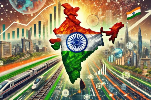
While most major apps still rely on GPS, many have started integrating NAVIC, especially in India, due to its higher accuracy in the region. As more smartphones and devices become NAVIC-compatible, the number of apps leveraging NAVIC will continue to grow, improving location-based services across a range of sectors, from transportation and agriculture to public health and disaster management.