Table of Contents
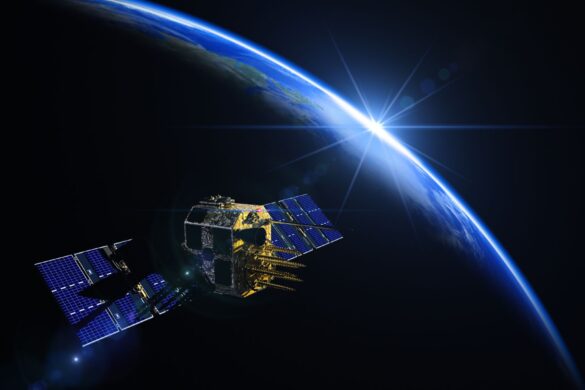
Navigation with Indian Constellation, NAVIC is the indigenous technology developed by ISRO as a positioning and navigation system for India.
With the world events taking an unpredictable turn every few months, being Atmanirbhar Bharat, or “self-reliant” is crucial for India to have an independent voice on the global stage. GPS developed by the United States is available for the world to use, but one cannot be entirely dependent and then left stranded in case of global emergencies and outages like war or cyber attacks.
The need for having India’s own positioning and navigation system was realised during the Kargil war post which India with the help of incomparable talent from ISRO developed NAVIC, Navigation with Indian Constellation. Today, while India does uses GPS for wide variety of applications, there is also assurance that we have NAVIC to call our own. In this article we will be looking at the applications, advantages and challenges of NAVIC.
Applications of NAVIC
1. Military Use:
NAVIC provides the Indian defence forces with secure, encrypted positioning and timing data. This comes well in use at the high tension and sensitive border regions. Its dual frequency (L5 and S-band) as well as restricted service gives it confidentiality, accuracy and reliability which is crucial for military use.
2. Disaster Management:
NAVIC’s accurate positioning system is crucial for disaster management during natural calamities such as earthquakes, cyclones, and floods. It assists in search and rescue operations by providing precise coordinates. The dual frequency gives regional accuracy of 5-10 meters which can be crucial in such circumstances as well as mitigates atmospheric errors without external corrections.
3. Transportation and Logistics:
NAVIC supports navigation for the logistics and transportation industry, making services more time bound and effective. For maritime navigation, it provides location services that enhance safety and tracking in the Indian Ocean region.
4. Agriculture:
As technology adaptation increases in rural India, positioning and navigation within the field can be really helpful to the farmers for precision farming. Activities like land measurement, mapping field boundaries, crop monitoring etc
5. Civil Aviation:
In the aviation sector, NAVIC aids in safe navigation, improving the efficiency and safety of flights in Indian airspace, especially for smaller aircraft that may not rely on more expensive international navigation systems.
6. Public and Commercial Uses:
NAVIC’s Standard Positioning Service can be used by commercial businesses and everyday users for location-based services (LBS) like navigation apps, vehicle tracking, and geo-fencing.
Advantages of NAVIC Over GPS:
1. Independence:
NAVIC provides India with autonomy ( AtmnaNirbharta ) in satellite navigation, reducing dependency on foreign systems like the U.S. for GPS or Russia’s GLONASS. In today’s time when the global economy is always on the verge of unexpected turns, this is a significant strategic advantage for India incase of unpredicted global outages, helping to maintain uptime and continuity especially in security and defense applications.
2. Accuracy and Focused Coverage in the Indian Region:
While GPS offers global coverage, NAVIC is specifically designed for the Indian region, and its accuracy in this area is often superior to that of GPS. This gives more reliable performance optimised for Indian conditions.
3. Dual-frequency Capabilities:
NAVIC’s dual-frequency (L5 and S-band) approach offers better accuracy by mitigating errors caused by atmospheric interference, which single-frequency systems like GPS cannot avoid easily. GPS only provides dual frequency of US’s internal military applications, for public users, it offers single frequency only.
Challenges and Future Developments of NAVIC:
1. Limited Global Reach:
NAVIC’s biggest limitation is its regional nature, unlike GPS or Galileo, which offer global coverage. This limits its use for applications requiring global positioning data. India is exploring opportunities for international collaboration to promote NAVIC’s use in other regions. This could expand the system’s reach and create more opportunities for its applications worldwide.
2. Market Adoption:
Despite its technological advantages, NAVIC has struggled to gain widespread adoption in consumer devices. However, There has been a recent mandate by the Indian government that smartphones in India should support NAVIC. This will likely boost its usage of NAVIC in user based applications.
3. Upgrades and Global Expansion:
ISRO has future plans to upgrade NAVIC, including adding more satellites to improve coverage and accuracy. This could eventually lead to a more global coverage provisions in NAVIC.
NAVIC is a key milestone in India’s space technology capabilities, providing critical navigation services for both civilian and military purposes. While it is primarily regional, its high accuracy and independence from other foreign systems make it an asset for India. Continued advancements in satellite technology, along with increased adoption, will ensure that NAVIC becomes an integral part of India’s technological infrastructure, aiding development in a variety of sectors such as defense, agriculture, and disaster management.